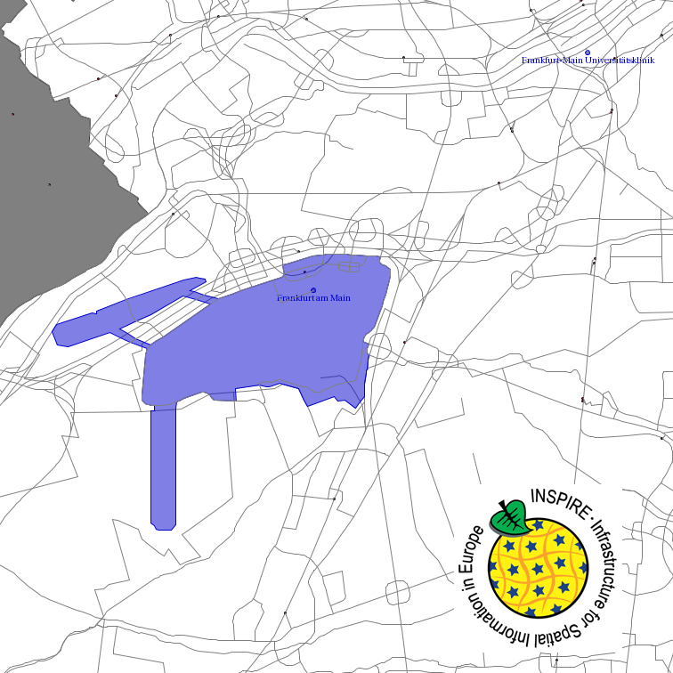
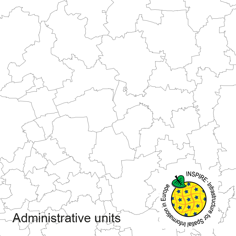
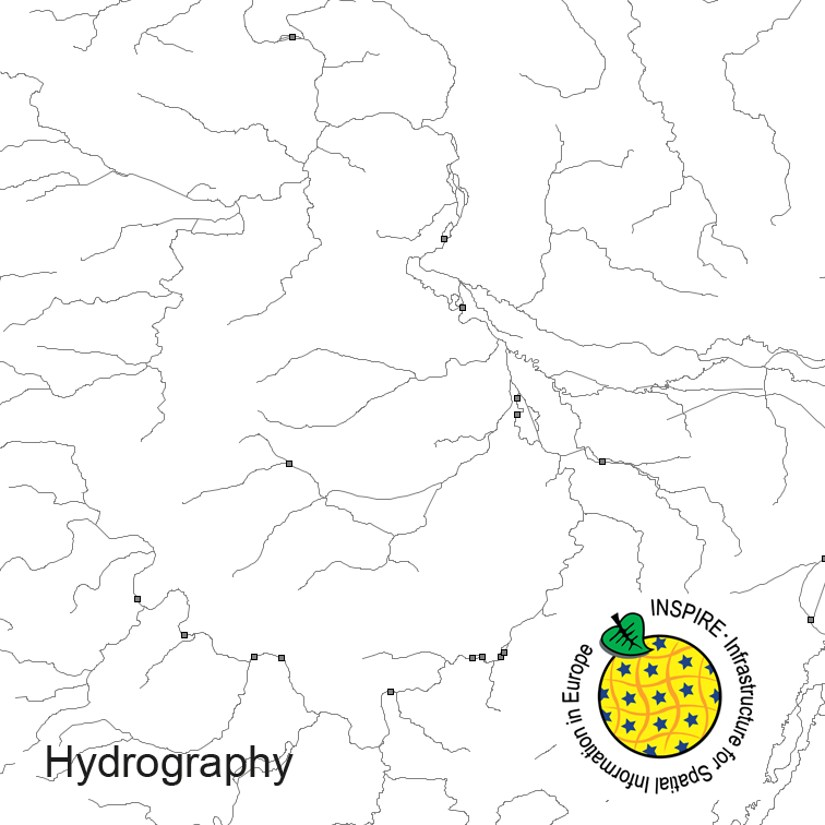
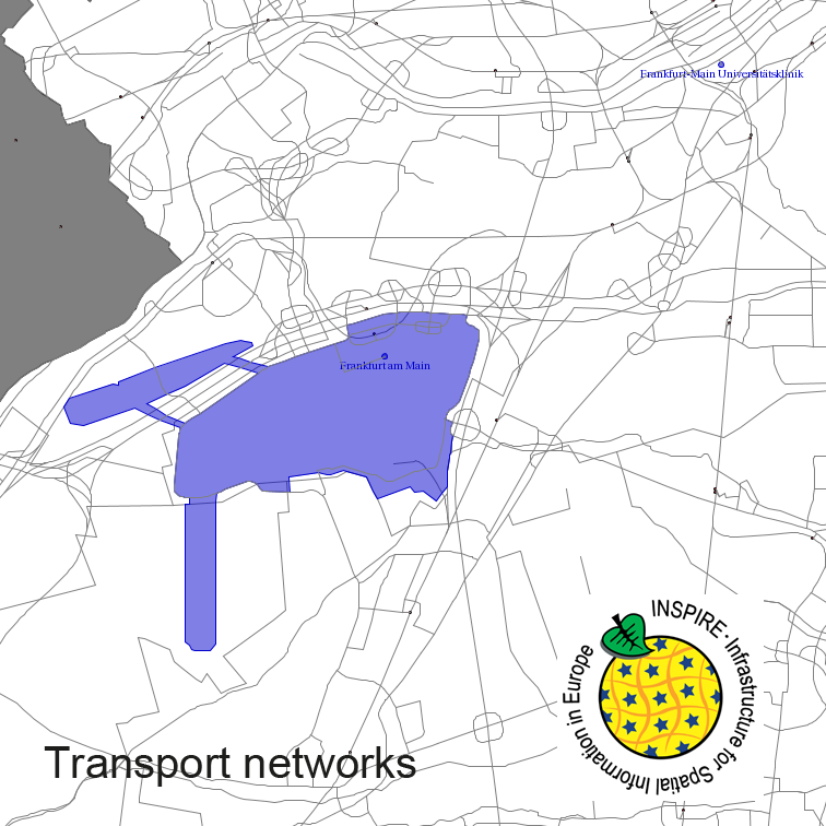
This service provides from ATKIS DLM250 transformed datasets for the INSPIRE themes Transport Networks, Hydrography (Networks and Physical Water), Administrative Units and Protected Sites. The data provided through this service covers the area of Germany.
Raumbezug
Lage der Geodaten (in WGS84)
| SW Länge/Breite | NO Länge/Breite | |
|---|---|---|
| Bundesrepublik Deutschland (000000000000) | 6.098°/47.239° | 15.579°/55.054° |
Verweise und Downloads
Querverweise (3)
Nutzung
| Nutzungsbedingungen |
The data are protected by copyright. In accordance with the "Geodatenzugangsgesetz" (Geodata Access Act), the data are made available free of charge for download and online use, see https://sgx.geodatenzentrum.de/web_public/gdz/lizenz/geozg.pdf. The use of the data is regulat-ed by the "Verordnung zur Festlegung der Nutzungsbestimmungen für die Bereitstellung von Geodaten des Bundes – GeoNutzV" (Regulation on the Determination of the Terms of Use for the Provision of Federal Geodata) of 19 March 2013 (Bundesgesetzblatt Jahrgang 2013 Teil I Nr. 14), see https://sgx.geodatenzentrum.de/web_public/gdz/lizenz/eng/geonutzv.pdf. The source note must be observed. |
|---|
| Zugriffsbeschränkungen |
no limitations to public access |
|---|
Kontakt
Fachinformationen
Informationen zur Geodatenressource
| Klassifikation des Dienstes |
Map access service (WMS, WMTS, API Maps etc.) |
|---|
| Art des Dienstes |
View Service |
|---|
| Version |
OGC:WMS 1.3.0 |
|---|
Operation
| Name der Operation | Beschreibung der Operation | Zugangspunkt der Operation oder des Dienstes | |
|---|---|---|---|
| GetCapabilities |
https://sg.geodatenzentrum.de/wms_dlm250_inspire? |
||
| GetMap |
https://sg.geodatenzentrum.de/wms_dlm250_inspire? |
||
| GetFeatureInfo |
https://sg.geodatenzentrum.de/wms_dlm250_inspire? |
||
| GetCapabilities Dokument |
|---|
Schlagworte
| INSPIRE-Themen | Administrative units Hydrography Protected sites Transport networks |
| GEMET-Concepts | transportation water (geographic) |
| AdV-Produktgruppe | INSPIRE Verkehrsnetze INSPIRE Verwaltungseinheiten INSPIRE Gewässernetz |
| Suchbegriffe | Administrative units AdVMIS Amtliches Topographisch-Kartographisches Informationssystem ATKIS BKG Digitale Landschaftsmodelle Digitales Landschaftsmodell 250 DLM250 Germany Hydro - Network |
Datenqualität
Konformität
| Spezifikation der Konformität | Spezifikationsdatum | Grad der Konformität | Geprüft mit |
|---|---|---|---|
| COMMISSION REGULATION (EC) No 976/2009 of 19 October 2009 implementing Directive 2007/2/EC of the European Parliament and of the Council as regards the Network Services | 20.10.2009 |
