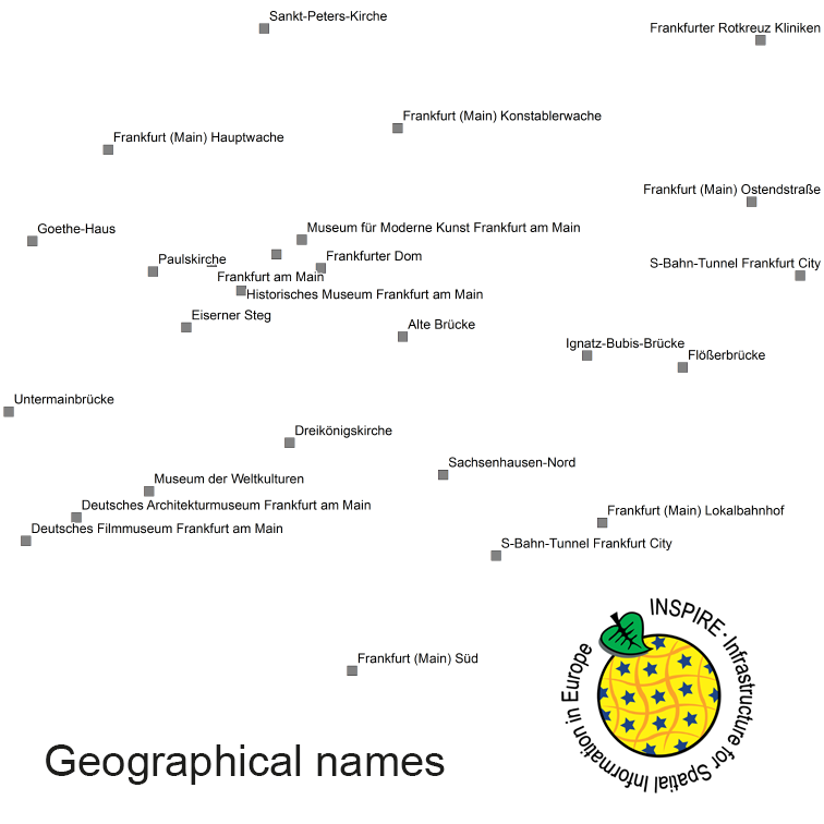
The INSPIRE-conform dataset geographical names Germany is the base for an INSPIRE-conform Web Feature Service (WFS) and Web Map Services (WMS). The dataset includes all relevant feature types from the digital landscape model scale 1:250.000 (DLM250): settlements, transportation, vegetation, hydrography, areas and regions with attributes regarding position (geometry data from DLM250), status and language of the geographical name.
Raumbezug
Lage der Geodaten (in WGS84)
| SW Länge/Breite | NO Länge/Breite | |
|---|---|---|
| Bundesrepublik Deutschland (000000000000) | 6.098°/47.239° | 15.579°/55.054° |
Verweise und Downloads
Querverweise (2)
Nutzung
| Nutzungsbedingungen |
The data are protected by copyright. In accordance with the "Geodatenzugangsgesetz" (Geodata Access Act), the data are made available free of charge for download and online use, see https://sgx.geodatenzentrum.de/web_public/gdz/lizenz/geozg.pdf. The use of the data is regulat-ed by the "Verordnung zur Festlegung der Nutzungsbestimmungen für die Bereitstellung von Geodaten des Bundes – GeoNutzV" (Regulation on the Determination of the Terms of Use for the Provision of Federal Geodata) of 19 March 2013 (Bundesgesetzblatt Jahrgang 2013 Teil I Nr. 14), see https://sgx.geodatenzentrum.de/web_public/gdz/lizenz/eng/geonutzv.pdf. The source note must be observed. © GeoBasis-DE / BKG (year of last data download) |
|---|
| Zugriffsbeschränkungen |
no limitations to public access |
|---|
Kontakt
Fachinformationen
Informationen zur Geodatenressource
| Digitale Repräsentation |
Vector |
|---|
| Maßstab 1:x |
300000 150000 |
|---|
| Zusammenfassung der Herkunftsangaben |
Transformation from national name database into INSPIRE. Sources: Geographisches Namenbuch Bundesrepublik Deutschland, IfAG 1981, Ergänzung 1991 bis 1996 Auswahl der Namen: Übersichtskarten 1:500.000, 1:250.000, 1:25.000 |
|---|
| Herstellungsprozess |
Transformation from national name database into INSPIRE |
|---|
Zusatzinformationen
| Sprache des Datensatzes |
Dänisch Niedersorbisch Friesisch Deutsch Obersorbisch Sorbisch |
|---|
Datenformat
| Name | Version | Kompressionstechnik | Spezifikation |
|---|---|---|---|
| GML | 3.2 |
Schlagworte
| INSPIRE-Themen | Geographical names |
| INSPIRE - Räumlicher Anwendungsbereich | National |
| GEMET-Concepts | hospital mountain watercourse |
| AdV-Produktgruppe | INSPIRE Geografische Bezeichnungen |
| ISO-Themenkategorien | Location |
| HVD-Kategorie | Erdbeobachtung und Umwelt Mobilität |
| Suchbegriffe | administrative units AdVMIS Geographical names hospital hydography important buildings inspireidentifiziert mountain names National |
Datenqualität
Konformität
| Spezifikation der Konformität | Spezifikationsdatum | Grad der Konformität | Geprüft mit |
|---|---|---|---|
| INSPIRE Data Specification on Geographical Names- Guidelines | 17.04.2014 | ||
| COMMISSION REGULATION (EU) No 1089/2010 of 23 November 2010 implementing Directive 2007/2/EC of the European Parliament and of the Council as regards interoperability of spatial data sets and services | 08.12.2010 |

