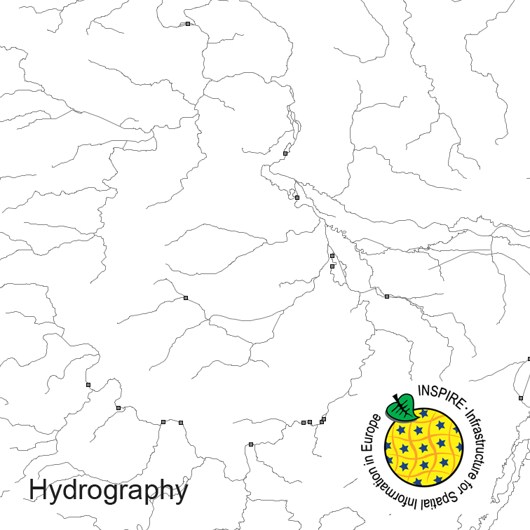
Hydrography of Germany, derived from the german digital landscape model at scale 1:250000. Mapped via EuroRegionalMap to satisfy INSPIRE and European Location Framework conformance. The dataset contains the hydrographic network and physical waters and is available as Open Data.
Raumbezug
Lage der Geodaten (in WGS84)
| SW Länge/Breite | NO Länge/Breite | |
|---|---|---|
| Bundesrepublik Deutschland (000000000000) | 6.098°/47.239° | 15.579°/55.054° |
| Koordinatensystem |
|---|
Verweise und Downloads
Querverweise (2)
Nutzung
| Nutzungsbedingungen |
The data are protected by copyright. In accordance with the "Geodatenzugangsgesetz" (Geodata Access Act), the data are made available free of charge for download and online use, see https://sgx.geodatenzentrum.de/web_public/gdz/lizenz/geozg.pdf. The use of the data is regulat-ed by the "Verordnung zur Festlegung der Nutzungsbestimmungen für die Bereitstellung von Geodaten des Bundes – GeoNutzV" (Regulation on the Determination of the Terms of Use for the Provision of Federal Geodata) of 19 March 2013 (Bundesgesetzblatt Jahrgang 2013 Teil I Nr. 14), see https://sgx.geodatenzentrum.de/web_public/gdz/lizenz/eng/geonutzv.pdf. The source note must be observed. © GeoBasis-DE / BKG (year of last data download) |
|---|
| Zugriffsbeschränkungen |
no limitations to public access |
|---|
Kontakt
Fachinformationen
Informationen zur Geodatenressource
| Digitale Repräsentation |
Vector |
|---|
| Maßstab 1:x |
250000 |
|---|
| Zusammenfassung der Herkunftsangaben |
derived from german topographic database 1:250 000 |
|---|
Zusatzinformationen
| Sprache des Datensatzes |
Deutsch |
|---|
Datenformat
| Name | Version | Kompressionstechnik | Spezifikation |
|---|---|---|---|
| GML | 3.2 |
Schlagworte
| INSPIRE-Themen | Hydrography |
| INSPIRE - Räumlicher Anwendungsbereich | National |
| GEMET-Concepts | watercourse |
| AdV-Produktgruppe | INSPIRE Gewässernetz |
| ISO-Themenkategorien | Inland Waters |
| Suchbegriffe | AdVMIS hydro network Hydrography inspireidentifiziert National opendata physical waters standing water watercourse |
Datenqualität
Konformität
| Spezifikation der Konformität | Spezifikationsdatum | Grad der Konformität | Geprüft mit |
|---|---|---|---|
| INSPIRE Data Specification on Hydrography - Guidelines | 26.04.2010 | ||
| COMMISSION REGULATION (EU) No 1089/2010 of 23 November 2010 implementing Directive 2007/2/EC of the European Parliament and of the Council as regards interoperability of spatial data sets and services | 08.12.2010 |


